The C2C Trail is open for hiking year-round unless special or temporary restrictions are imposed by the US Forest Service or private land owners. Because of concerns regarding wildfire, nesting birds, spawning fish, and logging operations, portions of the trail may be temporarily closed at any time.
Before planning and starting out on your adventure, check here for temporary closure information and other advisories for your safety and enjoyment.
“Perfect Storm” timing, i.e. lots of closures:
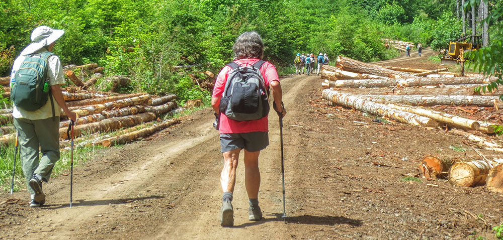
Managed forests have life-stanza cycles. Thus, commercial forests are usually harvested when they are merchantable and the market dictates. Other management choices may dictate periodic thinnings for income and the health of the remaining forest. The C2C Trail sees a full spectrum of these management styles across the properties it touches, both private and public. By coincidence, the readiness of many of these properties for full harvests or thinnings has fallen right upon the mid-2020s. Please be patient with trail closures, and observant of the need for extra caution if passage is allowed during operations. We’ll try to differentiate between periods when the full trail or only part of the trail is open. A large majority of C2C Trail outings do not cover the entire 60-mile distance. These “section hikes” can be undertaken at any time. Be aware that announced dates of closures and harvest operations are tentative and can change.
Temporary Advisories:
- County Fairgrounds CLOSED: Camping at the Benton County Fairgrounds has been popular with C2C Trail through-hikers even though it is located 1.5 miles off the trail, on the west side of Corvallis. From July 14 through August 15, 2025, the fairgrounds will have its annual closure to all camping, as well as all vehicle parking, to accommodate the Benton County Fair and rodeo. Find info about other camping in the Corvallis area.
- Bear and Cougar Alert: Recent increase in bear and cougar activity has been noted along the C2C Trail. For your safety, travel in groups and make some noise while hiking, Secure food well away from your sleeping area. For more information contact the ODFW websites listed below:
ODFW: Living With Cougar
ODFW: Living With Black Bear
Standing Advisories:
The C2C’s dirt trail segments west of Big Elk Campground are closed to bicycles year-round, although old roads are legal for bicycles and horses. East of Big Elk, trail segments are open to bicycles between May 16 and October 15, including: 1.5 miles on the Sugarbowl Creek section west of Shot Pouch Road, and the 2.2 mile lower section of the North Ridge Trail paralleling Woods Creek Road (no horses). There is no detour for bikes around the Sugarbowl Creek bike closure. Note that most of the C2C Trail was not built to bicycle and horse standards, and the open roads are not particularly horse-friendly. Regardless, for almost all road sections, including decommissioned Forest Service roads, bicycles and horses are legal.
For all users, near Gopher Creek there is a standing closure — with a detour — from November 1 to February 28. Here the trail crosses a small tributary of the creek. If you’re westbound, instead of turning onto the closed trail segment, continue up FS road 3125 to FS road 31 (Hilltop Road) and go west on FS road 31 until it intersects with the continuation of the C2C. This two-mile detour around the one-mile closure (trail mile 39-40) is made to protect the fish habitat and the adjacent wetland.
Several parts of the trail follow roadways open to the motoring public year-round, and which are regularly or lightly used. When using these roads, always be alert for cars, trucks, and other users.
As always, an eastern section of the trail around Marys Peak requires a permit from Starker Forests. See details on our Permit Page. Carry this permit with you when hiking through forest land.