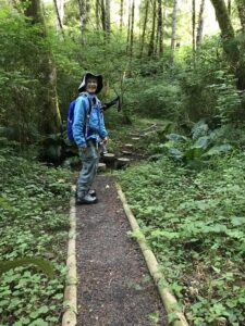
Hiking the Trail
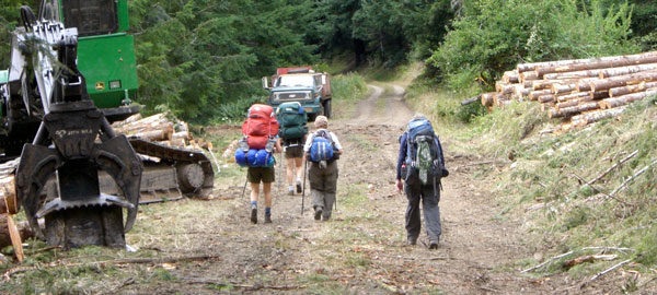
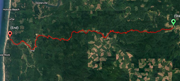
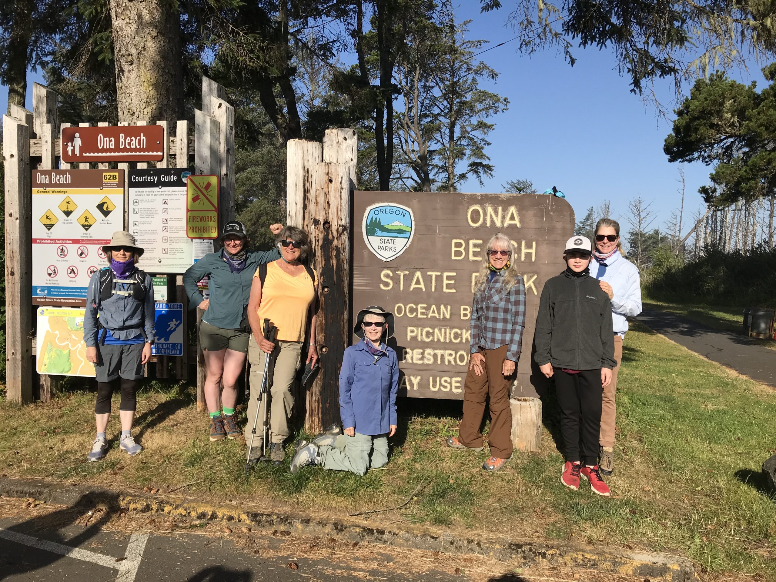
This is a hiking and biking trail through the Oregon Coast Range that connects the Heart of the Willamette Valley with the Central Oregon Coast. The full route (60 miles) of the Corvallis-to-the-Sea (“C2C” for short) Trail has two points of hiking origination: 1) east in downtown Corvallis, Oregon, at the confluence of the Willamette River and Marys River (Shawala Park), or alternatively at the Benton County Fairgrounds; and 2) west at Ona Beach State Park on the Pacific Ocean. Most people hike east to west. Public transit from Newport, and Seal Rock, Oregon, is available for the return trip. There are numerous intermediate trail access points from US Forest Service and County roads, and the bicycle route uses many of these same roads. However, parking at trailheads is scarce or limited or not available.
Get detailed directions to hike the entire trail in segments from east to west here. Miles of paved and gravel roads through the Coast Range could provide several alternative C2C biking routes; see Bicycle Routes for a map and descriptions.
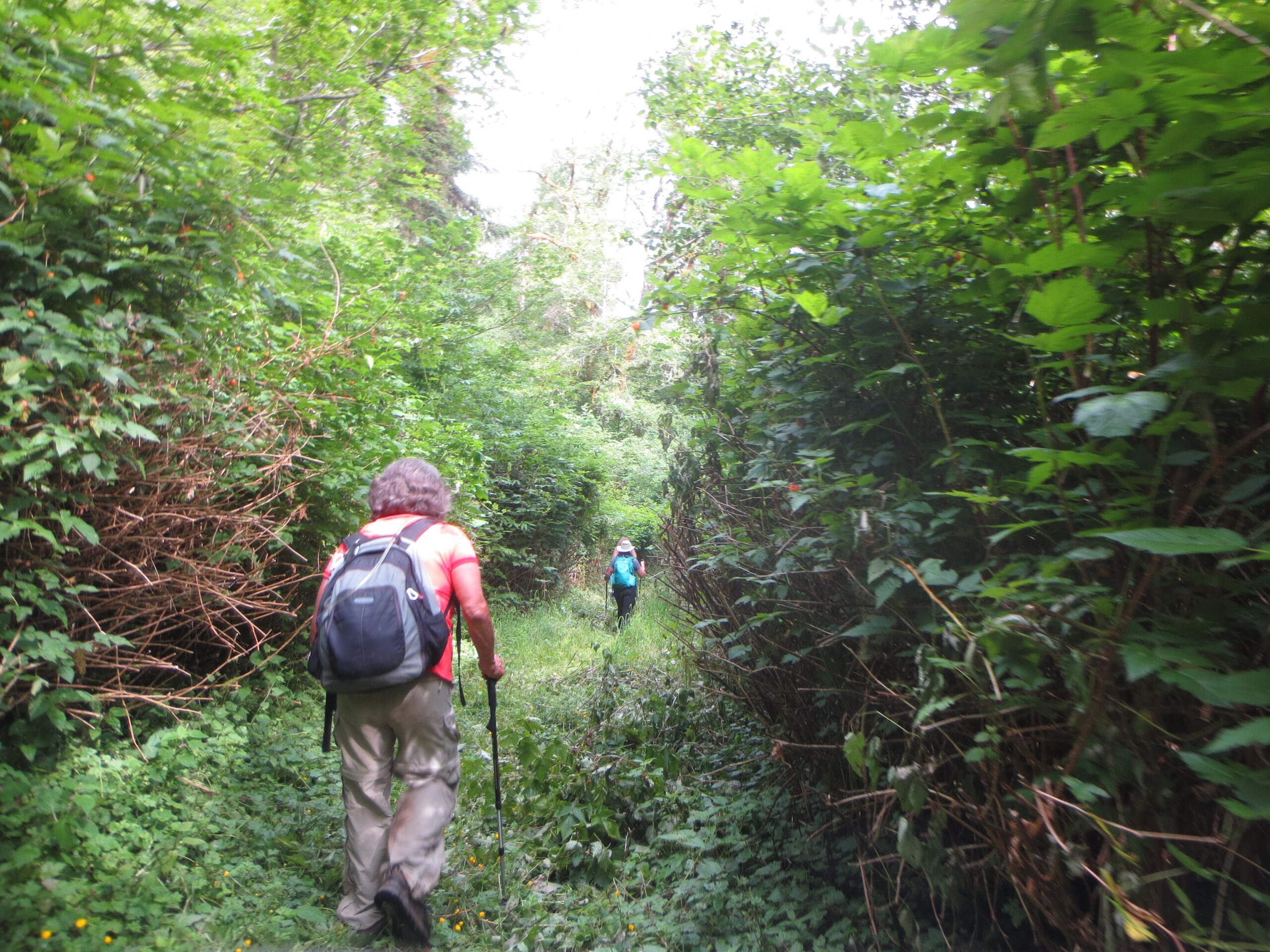
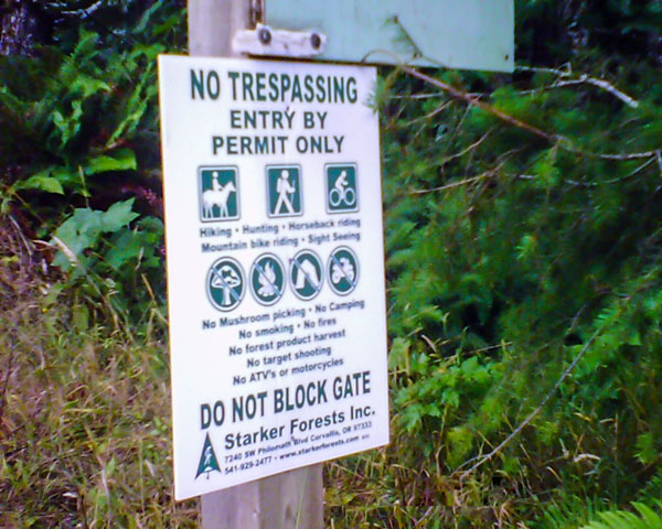
Most of the route is on lands and roads in public ownership and tied to timber management practices. The hiking trail is largely on abandoned or gated road corridors and existing low-traffic roads. The C2C Trail route is not all foot trail; in fact, there are some miles of open road and even one short bit of highway. Unless you are willing to hike or bike on roads or highway shoulders, be selective and don’t undertake the entire C2C route.
The eastern half of the route uses mainly a mixture of private and County roads and multi-use paths with a bit of existing and new trail. This half runs about 30 miles from Corvallis to the USFS Big Elk Campground west of the community of Harlan. About 5 miles of this route are on Forest Service land. On the western half, there are about 8 miles on existing trails or new trails. From Harlan to the coast, gravel and paved roads provide alternative bike routes for the trail. We have revokable arrangements with private landowners and timber managers for traversing the remaining lands along the route. Please respect all lands as you pass.
And remember that the C2C Trail is located within the traditional homelands of the Ampinefu or Marys River Band of Kalapuya, Wusi’n or Alsea People, and the Yaqo’n or Yaquina People. (For more information, see History.)
Hiking the trail, it is possible to travel from the valley through the coast range at the pace of the Native Americans, early settlers and naturalists. You can journey under your own power (hike or bike) for an afternoon, a day, a weekend or even a week through this land. At the end of traveling the entire route, you can splash in the cool waters of the Willamette River or the Pacific Ocean.
The C2C Trail also connects with the Oregon Coast Trail and the Willamette Water Trail. And a side trail can take you to Marys Peak with an elevation of 4,000 feet, and the very top of the Coast Range, where with clear weather you can see the ocean 40 miles away. Iconic Marys Peak is often in view from the C2C Trail.
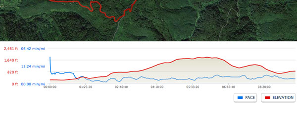
Note that people have done the entire hike to the coast in just 3 days, but 5 or 6 days is a more leisurely pace. For a narrative of one such 5-day hike in 2016, click HERE to download a printable file. Because motor vehicle access points are common along the route, supported hikes are another popular alternative to backpacking all your gear, food, and water for the entire trail. And there are opportunities for many shorter day hikes from numerous trailheads at intersecting Forest Service roads (see Trailhead Access).
Camping is restricted to the Siuslaw National Forest lands shown on the map; we are not allowed to indicate specific camping locations. Except for the USFS Big Elk Campground at the C2C Trail’s midpoint, all camping is required to be dispersed camping only. Therefore, you must plan your trip carefully to avoid being stuck along a stretch of private land at nightfall.
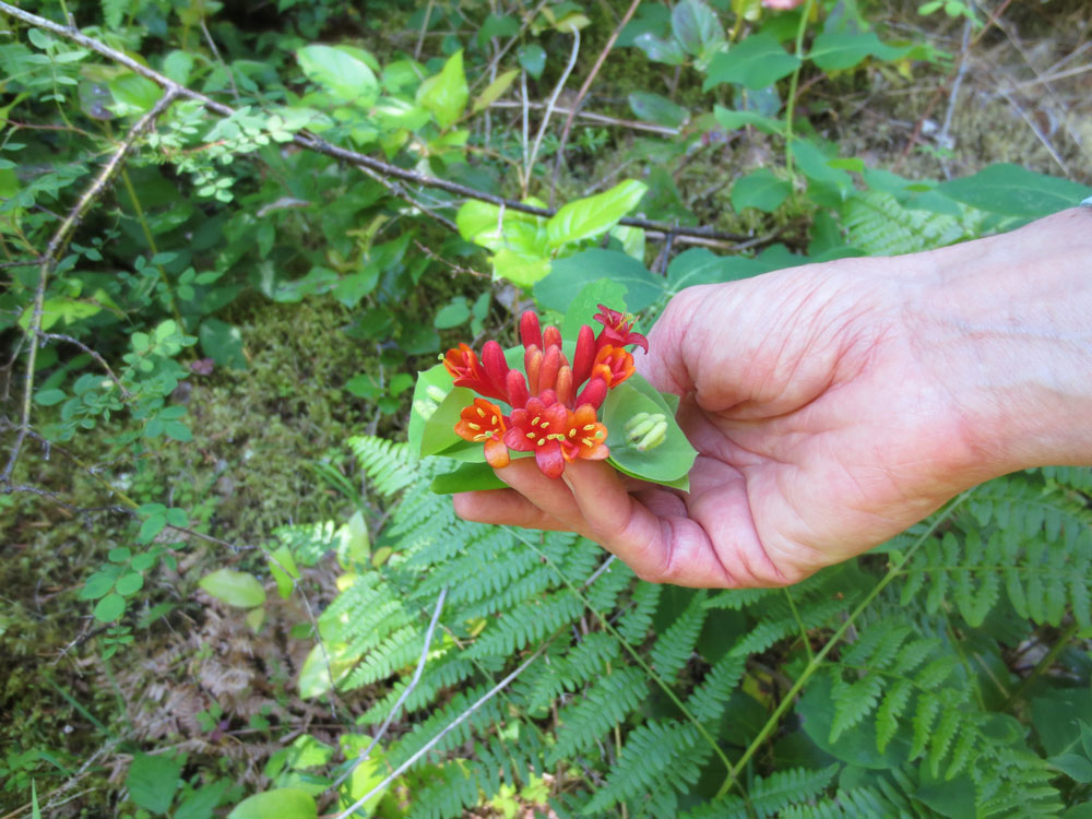
If your idea of an ideal camping spot includes almost flat, dry, clear, soft ground, an awe-inspiring view, and a spring or babbling brook a few hundred feet away, you may be disappointed with the C2C Trail. The first is found in scattered places; the second, infrequent and special; and the third, (water) a rare find. Plan ahead and read your map as you go.