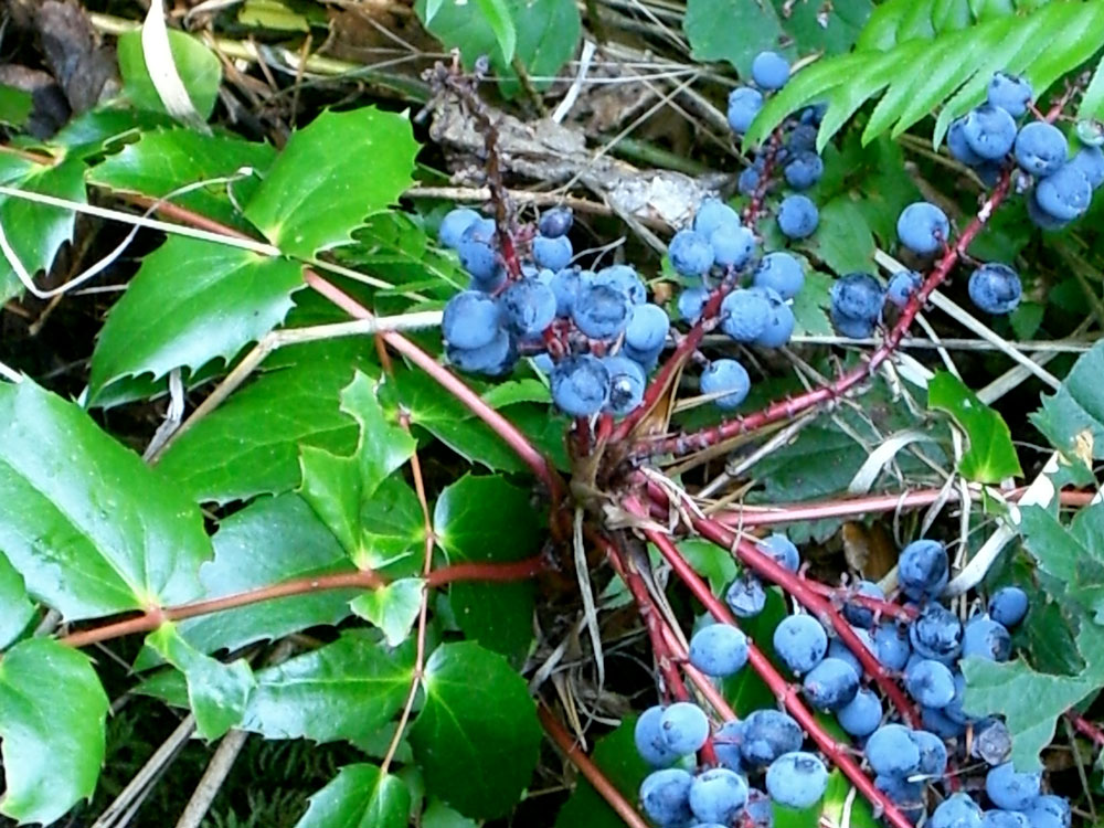
In the Oregon Coast Range of today there are unlogged pockets of lush coastal rainforest with a variety of trees, including fir, spruce, hemlock, cedar, oak, alder, maple, willow and Oregon ash. Along the C2C Trail you might spot a dogwood’s white blossoms. Understory plants including edible berries, ferns, salal, Oregon grape and dozens of flowering plants. Recently cut areas of the forest provide open vistas.
Most of the land in the Coast Range traversed by the trail was burned to charred timber and snags by the 600-square-mile Great Yaquina Burn of 1849; few trees here pre-date that fire.
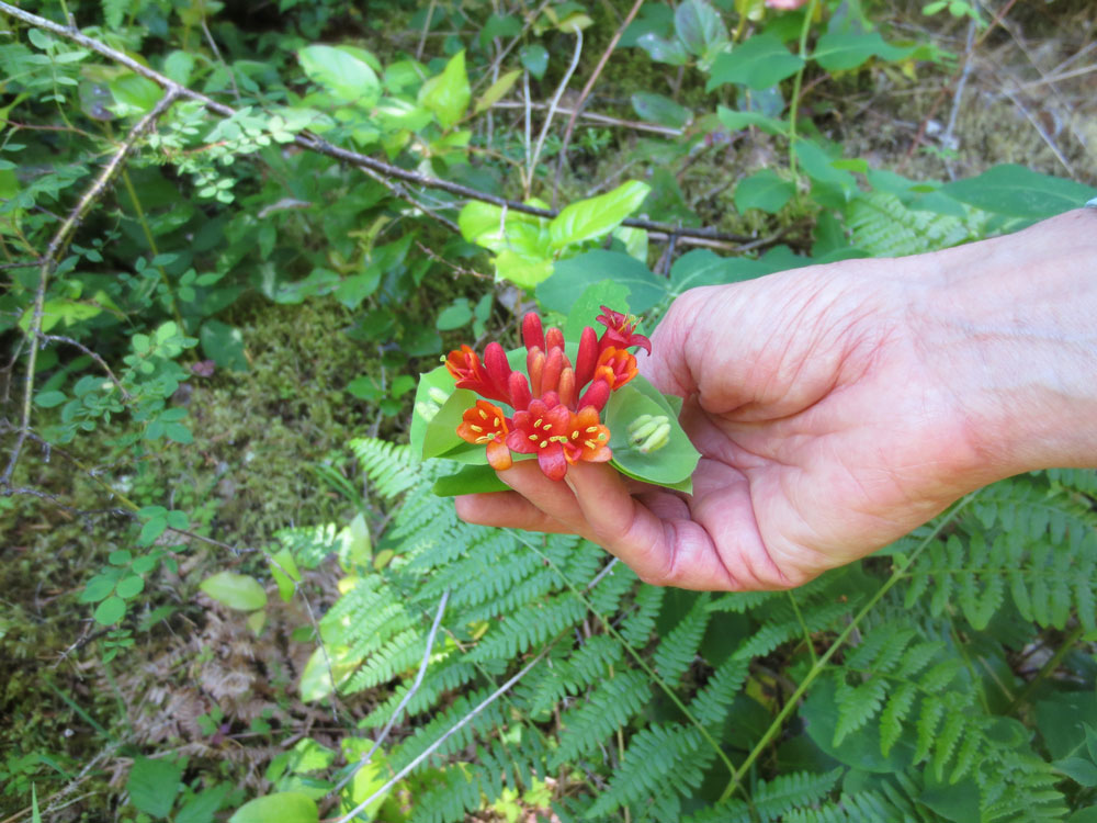
At 4,097 feet, Marys Peak is the highest point in Oregon’s Coast Range, and the trail skirts its north side. This mountain was called Tcha Timanwi or “place of spiritual power” by the native Kalapuya, a people whose land the trail crosses. Plants important for food to the Kalapuya include black oil tarweed (seeds), camas (bulbs), huckleberries, and elderberries. Plentiful venison, salmon, trout, and pacific lamprey eels were also staples. Medicinal plants have a long and varied history here, for example Western red cedar, Western yew, sword ferns, salal, and other plants were used for a wide variety of ailments and conditions. Pitch, leaves, roots and flowers all came in handy. For a list of plants compiled by a volunteer hiking along the north side of Marys Peak, click HERE.
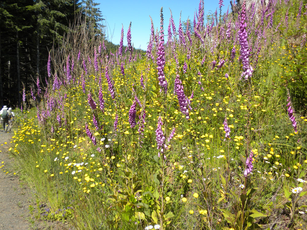
Today, besides forest trees, other plants of economic importance include edible mushrooms, particularly chanterelles, and salal, which is used by florists. Invasive non-native plants found along the trail include Scotch broom, stinky bob geranium, Himalayan blackberry, foxglove, tansy ragwort, English ivy, slender false brome, and holly.
You may encounter deer, elk, and black bear, and the more secretive bobcat, cougar, and coyote.
Songbirds in the area include robins, chickadees, nuthatches and thrushes; birds of prey include hawks, owls and eagles.
The marbled murrelet (MaMu) is a threatened species that spends most of its life living on the ocean and feeding on small fish. However, once mature it flies as much as 30 miles inland to lay one egg a year in a depression on a moss-covered limb high in older conifers. The trail passes through areas of MaMu nesting habitat. The MaMu relies on nest location and secretive behavior to keep the nest site hidden. For one month the adults take turns incubating the egg or feeding at the ocean. Once the egg hatches, the adults leave the nest, but return near dawn and dusk to bring a fish to feed the young MaMu. After another month, the young MaMu drops from the nest and flies solo to the ocean to begin its marine life.
The northern spotted owl is another threatened species in the vicinity of the trail. The trail was generally laid out to avoid known nesting sites, and trail maintenance activities involving noise and engine-driven tools have restrictions.
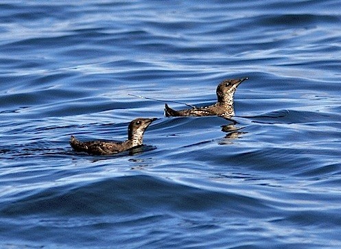
Credit: Aaron Barna, USFWS Pacific
Civilization has gradually reduced the numbers of MaMu from loss of stands of old conifers for nesting sites, gill nets entangling diving birds, and oil pollution. The major threat to nesting MaMu is predation by corvids (jays, crows, and ravens) and this threat has greatly intensified with human presence. One major predation factor is the correlation of people and their litter (i.e., fruit and grain) as a food source for these predator species.
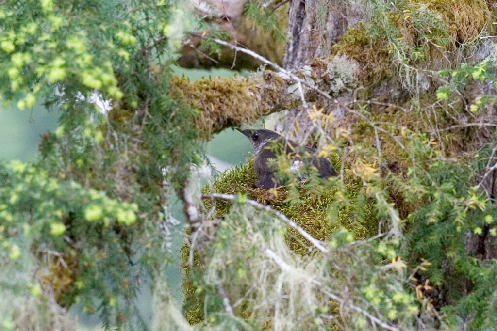
Credit: Nick Hatch, USFS, Pacific Northwest Research Station
