GPX files for importing to any mapping/navigation application of your choice. (Explain this!)
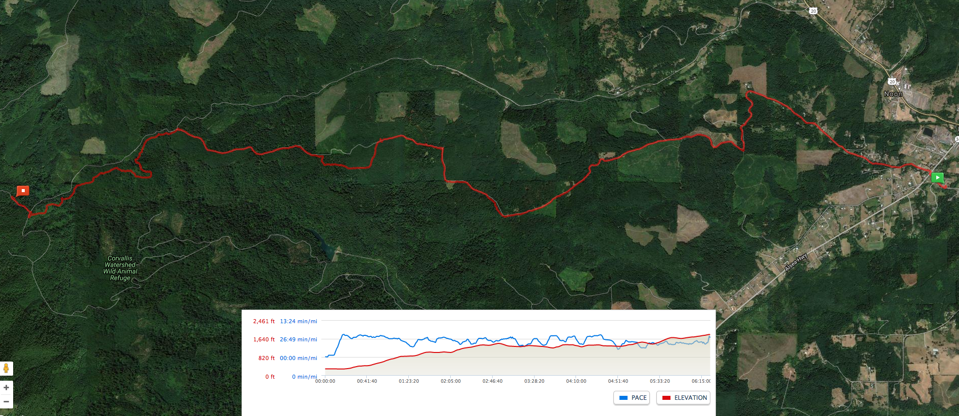
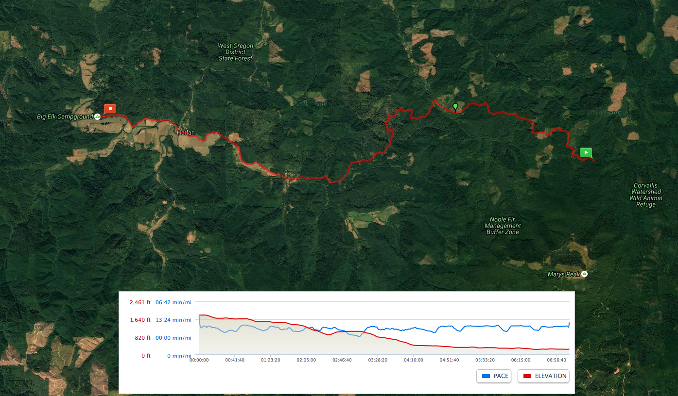
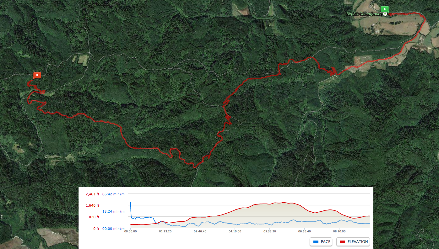
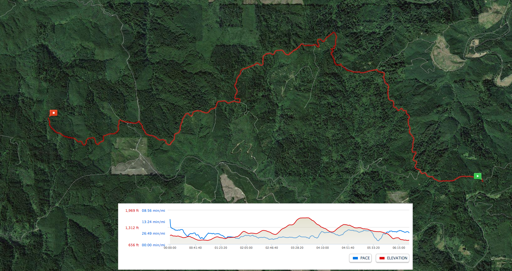
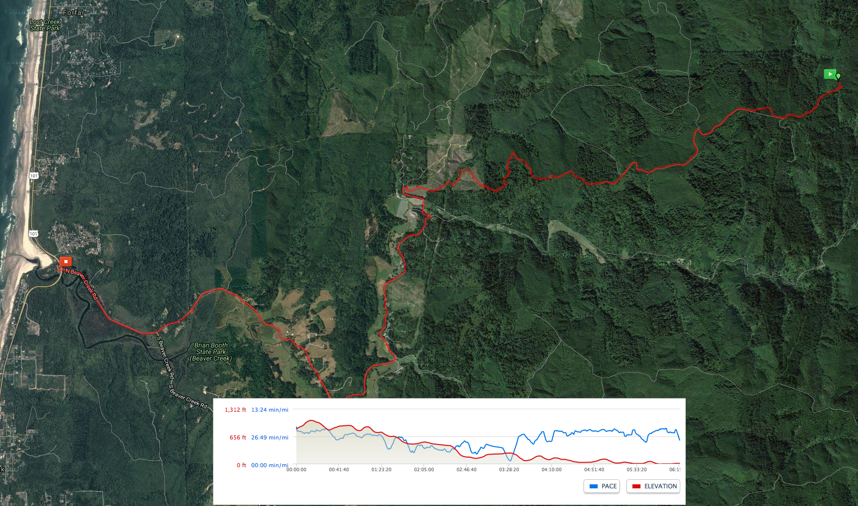
Pace and elevation graphs for five trail segments are available on somewhat outdated route maps, which can be viewed full size and printed by clicking below: